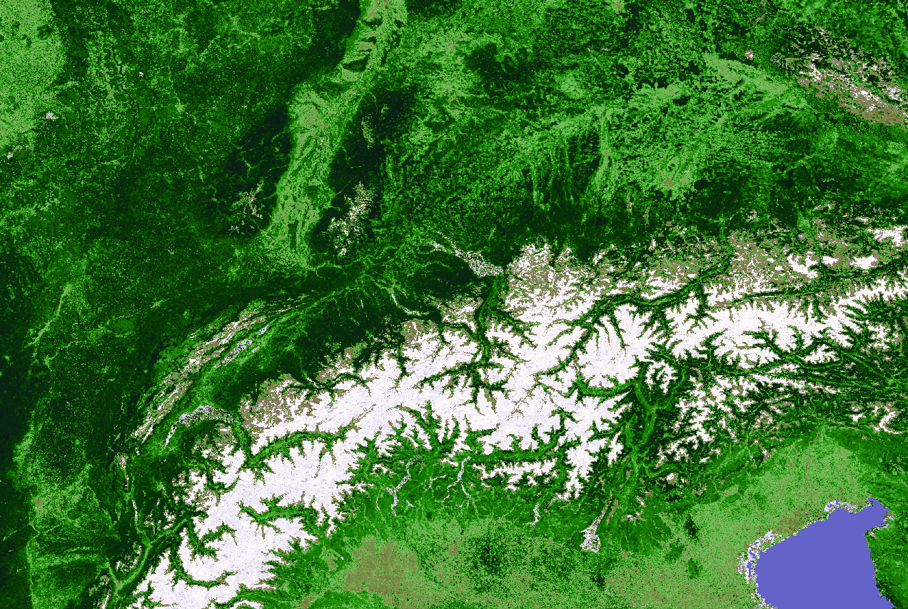
Alps MODIS NDVI example (16 days composite)
Software used: GRASS 5.7, GRASS6, GDAL
Alps MODIS NDVI example (16 days composite)
The following preprocessing steps are required to obtain usable NDVI/EVI maps from MOD13:
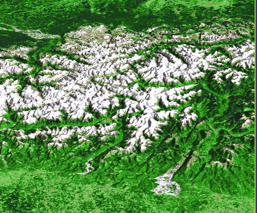
Perspective view of Alps MODIS NDVI example (16 days composite)
 (click to enlarge)
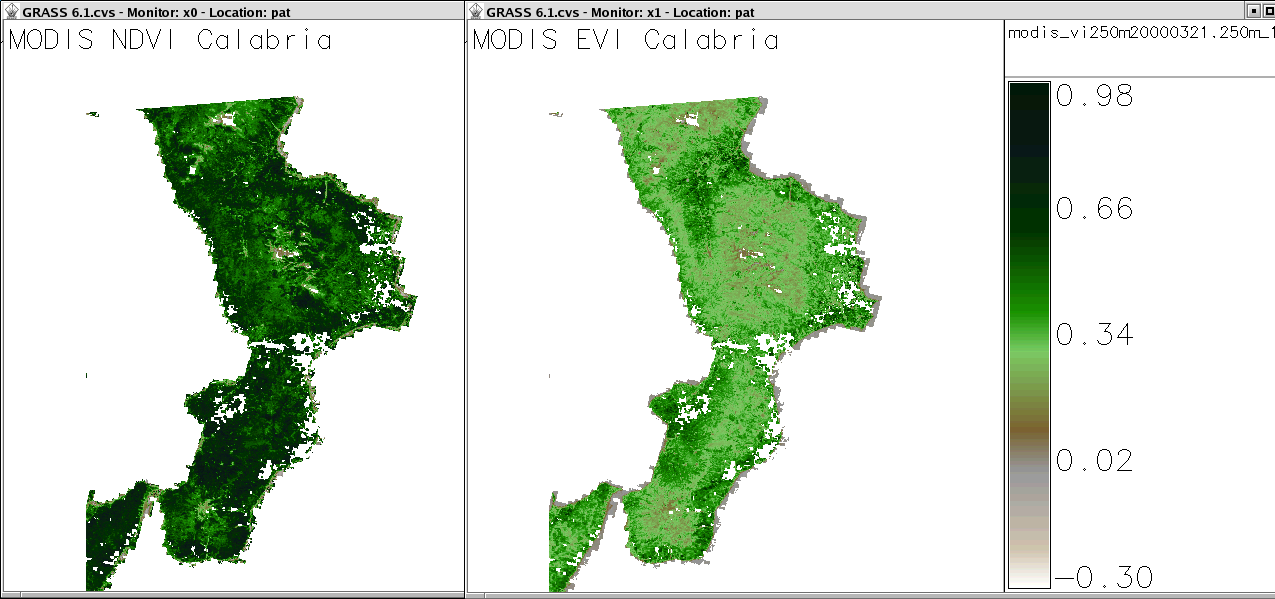
Both NDVI and EVI maps are colored with identical color table (MODIS/Terra scene MOD13, composite of 21 March - 5 April 2000, Calabria, Southern Italy). EVI is less prone to atmospheric distortion (see ATBD below). Both maps have been processed according to the list shown above.