Remote sensing at ITC-irst - MPA group
These pages reflect ongoing research in remote sensing of environment.
They will be continuously extended.
MODIS/Terra sensor
The Moderate Resolution Imaging Spectroradiometer (MODIS)
is a 36-channel from visible to thermal-infrared sensor that was launched as part
of the Earth Observing System (EOS) Terra payload on 18 December 1999.
It delivers data at 250m/500m and 1km resolution.
Software used: MRT2.3 (MODIS Reprojection Tool, see note at
bottom) and GRASS5.0
MODIS/Terra Surface Reflectance Daily L2G Global 500m ISIN Grid (MOD09GHK)
Temporal Extent: 2000-06-09 to present
 |
| SDS |
Units |
| Band 1 (620-670 nm) |
Reflectance |
| Band 2 (841-876 nm) |
Reflectance |
| Band 3 (459-479 nm) |
Reflectance |
| Band 4 (545-565 nm) |
Reflectance |
| Band 5 (1230-1250 nm) |
Reflectance |
| Band 6 (1628-1652 nm) |
Reflectance |
| Band 7 (2105-2155 nm) |
Reflectance |
|
|
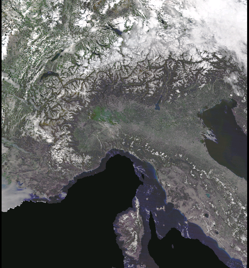
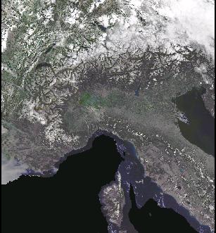
8 Aug 2002 - true color image composite
Part of Europe as seen from MODIS/TERRA at 500m resolution (R1 G4 B3).
New snow arrived in the Alps, floods in Austria, Czech Republic and Germany
due to heavy rain (up to 300mm/24h in Eastern Europe).
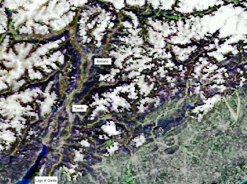
Zoomed subset 8.8.2002: Lago di Garda (SW), Trento (center) and Bolzano (north)
at 500m resolution, mountains covered by small clouds.
|
MOD09GHK: The product is an estimate of the
surface spectral reflectance for each band as it would have been measured
at ground level if there were no atmospheric scattering or absorption. The
correction scheme includes corrections for the effect of atmospheric gases,
aerosols, and thin cirrus clouds; it is applied to all non-cloudy MOD35 Level
1B pixels that pass the Level 1B quality control (cited from USGS web page). |
About the ISIN projection
(update 2005: from MODIS V004 onwards, SIN instead of ISIN is used)
All MODIS land products are gridded in the ISIN projection which projects
analogous to the Sinusoidal projection except that the ISIN projection is
centered about 0 degree longitude and special coefficients are used to
flatten the ellipsoid. The ISIN projection was devised for the Level-3+
products because it employs a tessellation scheme, efficient organization,
and hierarchical management of the multi-resolution data acquired by the
MODIS sensor (cited from MRT/USGS page).
But most of "off the shelf" and free GIS and image processing software do
not support ISIN.
Software to reproject ISIN to UTM, Gauss-Boaga etc. is the MODIS
Reprojection Tool (MRT) from USGS. See below an important note about
the ISIN shift problem.
From late December 2002 onwards the ISIN issues are going to go away, since
the v004 MODIS data will now be output in the Sinusoidal projection rather
than Integerized Sinusoidal (The Earth Observer, 2002 14(5), p. 12).
Information:
Software:
Data access:
Markus Neteler 10/2002
Back to MPA HOME page