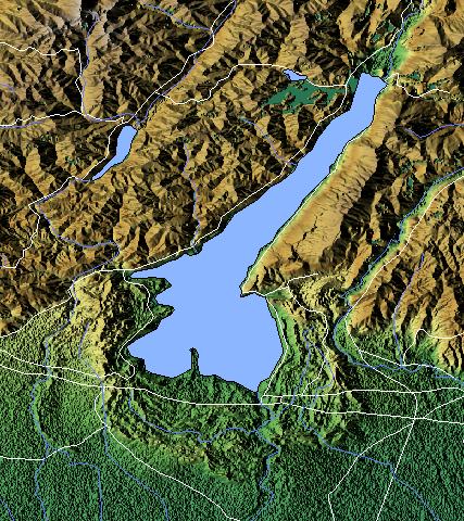
SRTM90 and VMAP0: Lago di Garda, Italia.
Software used: GRASS 6, GDAL and Povray
SRTM90 and VMAP0: Lago di Garda, Italia.
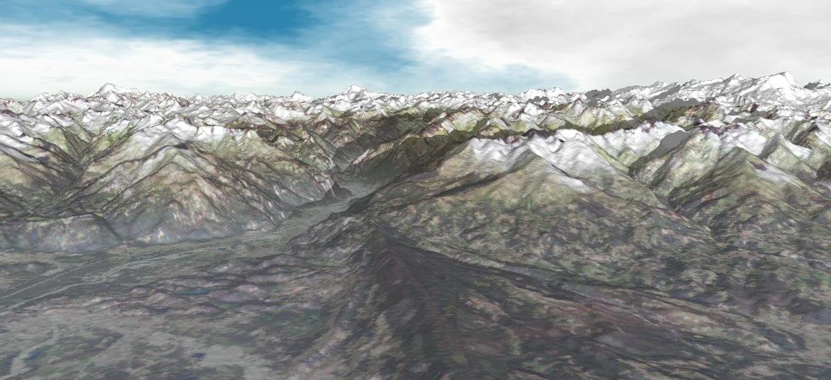
SRTM90 and LANDSAT-7: Val d'Aosta, Italia. View to North-West, to Monte Bianco (any camera
position can be rendered).
srtm_generate_hdr.sh: general shell script to make GeoTIFF from original SRTM90 files (reads the hgt.zip file and generated a BIL file with header). Requires GDAL tools to be installed.
r.in.srtm: GRASS script to import original SRTM files. To be used in Lat/Long LOCATIONS (WGS84, to be precise EGM96) - integrated into GRASS 6.0 (or later)!
Holes in the SRTM data can be closed within GRASS with r.fillnulls (uses splines, see reference below).